Search london history from Roman times to modern day
December 3, 2020 London history, walk the London Wall part 1b
Walk the next part of the Roman London wall 2
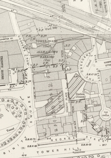
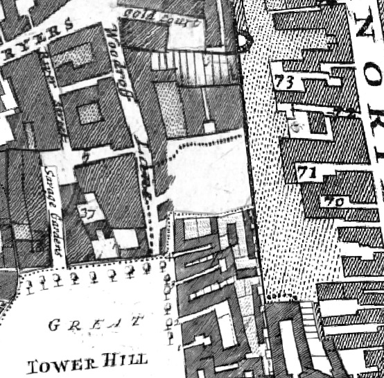
Just south of Coopers row, as it is now called was Trinity square, which is the square around the top of the Tower itself. As you can see from the maps in 1896 and earlier in 1720, slightly to the east is Trinity place.
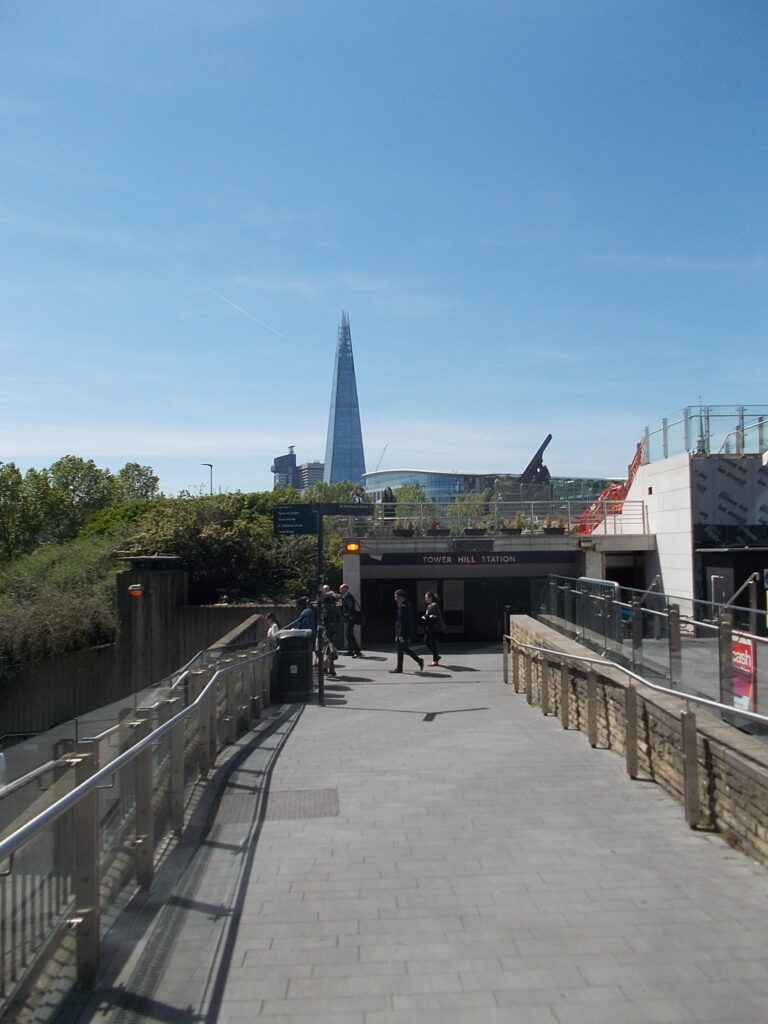
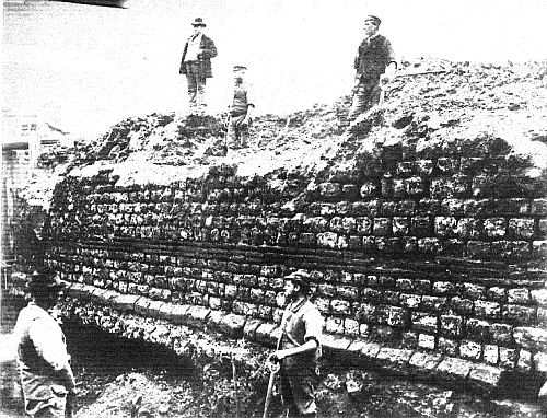
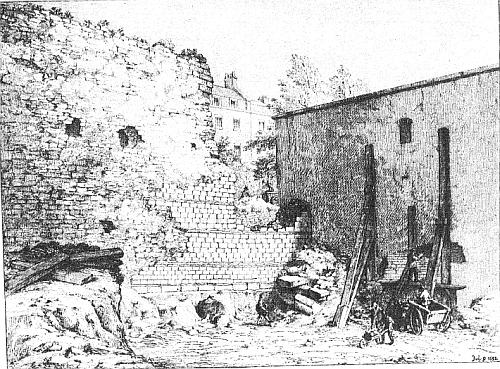
Coopers Row and Trinity place in about 1896 Coopers row was Woodroff lane in 1720 Tower Hill station in May 2019 The London wiki refers to two separate sections of the wall at Trinity place. The northern section was a length of 73 feet of the Roman wall, immediately adjoining the southern section was destroyed for the construction of the Inner Circle Railway in 1882, i.e. the Underground Circle and District lines at Tower Hill. Town Wall, Trinity place. Part destroyed 1882 The southern section was a length of about 50 feet of the town-wall is still standing here to a height of about 15 feet. Town Wall and Bastion, Trinity place, from a sketch 1852
Roman Wall and Wardrobe Tower at Tower of London
by artfletch
on Sketchfab
Trying to avoid privacy and cookie settings overwriting content