
Search london history from Roman times to modern day
December 3, 2020 London history, walk the London Wall part 1b
Walk the next part of the Roman London wall 3
OK, the London wall is really confusing at first unless you look at it from space, e.g. from google earth. It is how I discovered it in the first instance.
What is even more confusing is the depth of some of the streets from the actual wall. If you just walk along Coopers row, and then try to make a straight line to America square, it does not make sense. Then if you look at the following it does make sense:
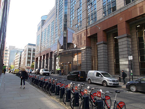
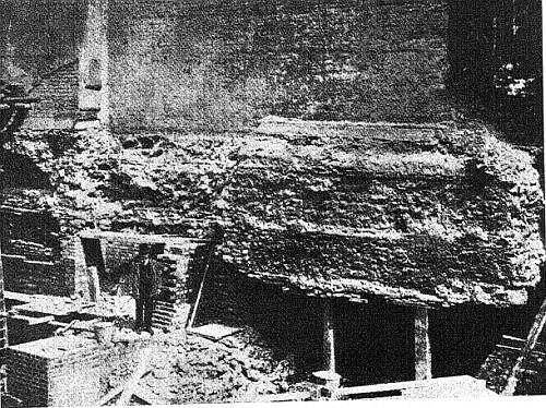
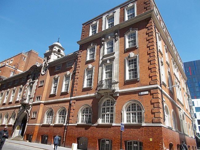
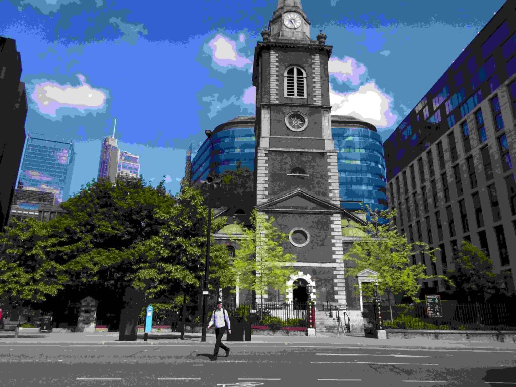
America square, Coopers row and the Romas London wall A mapping of the area is always good, modern day compared to pre-1900 maps from the NLS site One America square, London – in May 2019 If you peer into the floor level sky-lights down into the conference centre, you an just make out a section of the wall. this near to the corner of the building. Here is a far better description, than I could ever envisage, with lots of pictures inside the building, too. Although, this is a picture taken in 1905 of the original walled section inside Roman Wall House View of wall as exposed in 1905 – in Roman Wall House John Cass, now the David Game college, Jewry street – in 2019 The paperblog managed to photograph inside this building in the past when it was part of the London Met. Just a little further north, and along Jewry street, very close to Aldgate was a section of the wall which is actually in the cellar of the original Three Tuns, 36 jewry street. This pub backs onto Vine street (previously called Little George street),. St Botolph without in May 2021, the wall is to the left, as without means outside the wall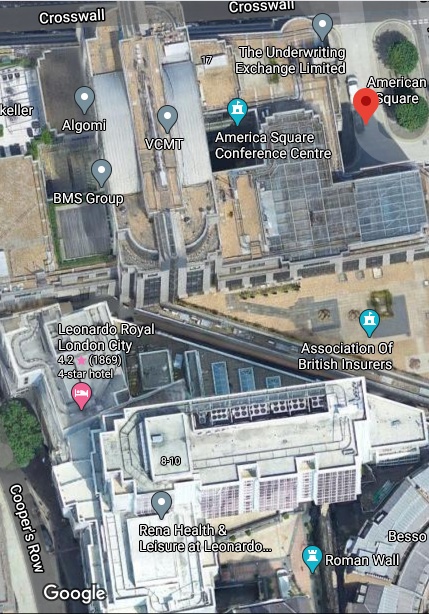
Trying to avoid privacy and cookie settings overwriting content