
Search london history from Roman times to modern day
Aldgate pub history index
The Sun & Trumpet in Aldgate High Street is noted on maps as early as 1682, and also in 1720 and 1756.

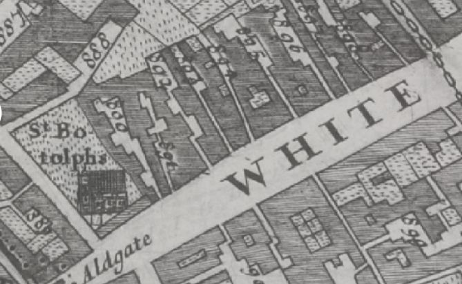
Aldgate High Street, then named Whitechapel - in Morgans Map of London in 1682 listing 890 Crown Inne ; 891 Three Nunn Inne ; 893 White bear alley ; 894 Sunn & Trumpet ; 895 Black bull alley ; 896 Blew boar lane and 898 White horse alley.

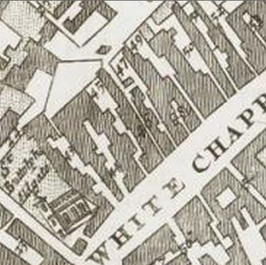
Aldgate High Street, then named Whitechapel - in John Strype Survey of London in 1720 listing 44 Three Nun Inn ; 47 Sun & Trumpet alley ; 48 The Bell Brewhouse ; 49 Black Bull Inn ; 50 Blue Bore Inn and 51 The Bores Head Tavern

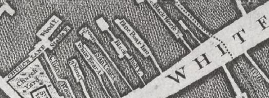
Aldgate High Street, then named Whitechapel - in John Rocques Map of London in 1746 listing St Botolphs Church ; Three Nuns Inn ; White Bear Alley ; Sun Court ; Crown Inn ; Black Bull yard ; Blue Boar Inn ; and Black Horse yard.
The Sun and Trumpet is at the position of the latter Sun Court. The 1799 JOhn Rocques map lists this at about 19 Aldgate High street. This section of street is earlier just referred to as just Whitechapel.
The 1682 Morgans map lists the '894 Sunn & Trumpet', in Whitechapel which is later renamed as in Aldgate High street.
The John Strype Survey of London in 1720 lists the Sun & Trumpet alley.
Maitland in 1756 lists the Sun and Trumpet alley, Whitechapel
Trying to avoid privacy and cookie settings overwriting content