
Search london history from Roman times to modern day
Southwark St Saviour pub history index

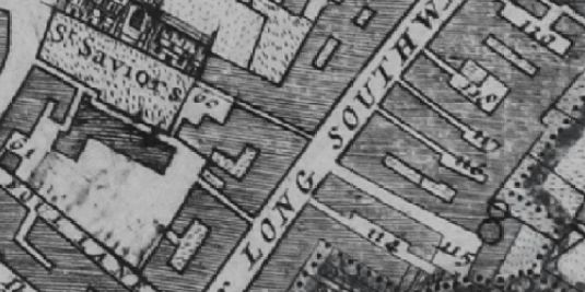
Borough High Street in the Morgans map of 1682 lists '114 Black Swan' ; '115 Ship Inne' and '116 Bores head Inne'.

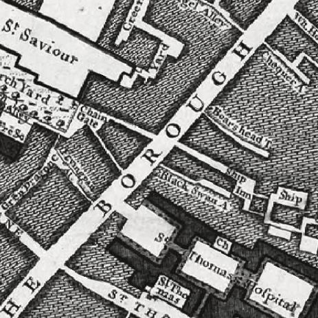
Borough High Street in 1746 John Rocques map marks Black Swan alley ; Ship Inn and Boars head.
A listing of historical London public houses, Taverns, Inns, Beer Houses and Hotels in Southwark St Saviour, Surrey, London.
Residents at this address.
Borough High Street in the Morgans map of 1682 lists '116 Bores head Inne'
In 1708 : A New View of London by Edward Hatton lists Boars head Inn, on the East side and toward the North end of Borough of Southwark.
The 1746 John Rocques map marks Boars head Inn or Court?
Trying to avoid privacy and cookie settings overwriting content